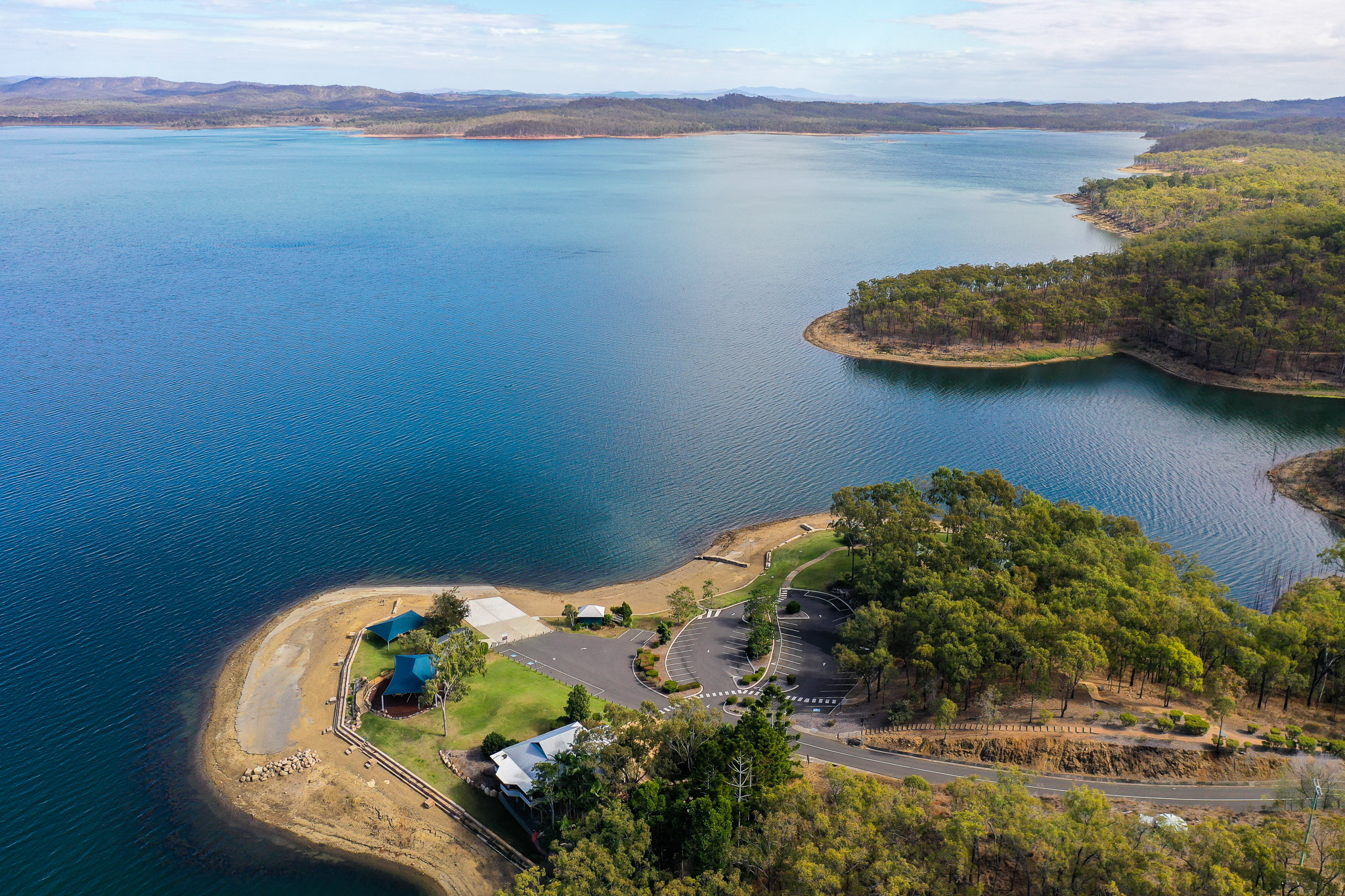
Ensuring high quality water supply for the Gladstone region begins at the source – the Lake Awoonga catchment in the Boyne Valley.
The Boyne Valley catchment covers more than 23,000 hectares and is bound by Many Peaks Range to the east, Dawes Range to the south, Calliope Range to the south-west and Boyne Range to the west. The upper catchment terrain is relatively steep with heights ranging from 600 to 850 metres above sea level. The Boyne River Basin plan area comprises a single catchment with one major river system (the Boyne River) and several tributaries (including Ridler, Degalgil, Marble and Diglum Creeks) that drain to Gladstone Harbour and the Great Barrier Reef.
The climate of the Boyne River catchment is classified as sub-tropical with warm to hot summers and mild dry winters. The average annual rainfall ranges between 800 and 1000 millimetres.
Water quality is significantly influenced by the type and management of land use activities in the catchment, with nutrient and sediment levels attributed to the land clearing and cattle grazing that has occurred in the Boyne Valley over the past 100 years. It is vital we work in partnership with our neighbours, catchment landowners and the broader community to achieve better land management and water quality outcomes.
We also have an experienced team of land management, environmental specialists and catchment officers, who manage and maintain our catchment land and the recreational use of our sites.
They undertake duties including water quality monitoring, aquatic ecosystem monitoring, fire management, illegal access monitoring and management, pest and weed control, as well as managing public access to our very popular recreational facilities.